Zoom
This trail runs through the foothills of Sierra Tejeda. J. Amellones Andalusian escape Alcaucín-Canillas de Aceituno: At the foot of the Maroma mountain rangeThis outstanding section of the eighth stage of the Gran Senda de Málaga passes through enclaves such as the Fájara cave and the source of the river Bermuza
Málaga
Monday, 6 April 2026, 13:18
An outstanding section of stage eight of the Gran Senda de Málaga (GR-249), which connects Canillas de Aceituno with Periana. The route takes the opposite direction to the usual one, allowing you to gradually discover one of the most striking sites in La Axarquía: the Fájara cave.
Route data
County: Axarquía
Municipalities: Alcaucín y Canillas de Aceituno
Difficulty level: Medium. Although the profile is manageable, there are technical sections around the Fájara cave and sections with loose stones where special care should be taken. There is also a steep climb from La Fájara to the track that leads to Canillas de Aceituno.
Type of route: Linear
Approximate duration: Approximately 2 hours and 30 minutes (one way).
Length: Approximately 6.5 kilometres (one way).
Minimum height: 448 metres
Maximum altitude: 649 metres
Nearby places of interest: Fuente de los Cinco Caños, churches of Nuestra Señora del Rosario (both Alcaucín and Canillas de Aceituno), hermitage of Jesús Nazareno, Fájara cave, source of the river Bermuza, Tajos Lisos, Casa de los Diezmos, old Arab cistern of Canillas or bridge and footbridges of Saltillo.
Zoom
Church of Nuestra Señora del Rosario in Alcaucín J. AmellonesHow to get to the starting point
The route can be started in the town centre of Alcaucín , from where you should look for the signs that correspond to stage eight of the Gran Senda de Málaga, which links Periana with Canillas de Aceituno. In the very centre of the village you can see some signs that guide you to the exit of the village in the right direction. In any case, you should leave the village along Calle del Calvario, which passes by the cemetery and the chapel of Jesús Nazareno. You can park your vehicle in the area around the cemetery or in one of the car parks around the health centre.
Route description
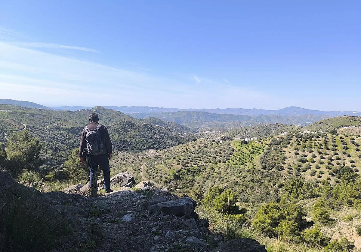
1Once you have parked your vehicle, look for Calle Calvario to leave the town centre of Alcaucín, leaving the cemetery and the adjoining Jesús Nazareno chapel on your left. This first section of the route is on a tarmac track, where motor vehicles can pass, although it is not usually a busy road. The path heads southeast, passing first by an old quarry. The track goes around it and ascends in such a way that it affords beautiful views of the Axarquía region, where the La Viñuela reservoir stands out in particular. This track, after turning northwards, joins the first forested section of this route.
Zoom
Leaving Alcaucín via Calle del Calvario J. Amellones2On passing by the water tank that supplies the village of Alcaucín, you leave the wide track behind and start walking along a narrow path that clearly runs along the southern slopes of Sierra Tejeda, at the foot of La Maroma. The route then makes contact with a thick pine forest and heads clearly towards the southeast, where Canillas de Aceituno is located. The route is at first practically flat, but then starts to descend. It passes by some houses and arrives at the foot of the Pasaje pass, enjoying splendid panoramic views of the valley through which the River Bermuza flows.
Zoom
After a few metres you can see the reservoir of La Viñuela J. Amellones3After a little over three kilometres of walking, the steepest descent of this outstanding section of the eighth stage of the Gran Senda de Málaga awaits, in which precautions must be taken, especially when the path approaches the Fájara cave, which can be accessed, although caution must be exercised due to the thick vegetation at the entrance. From there, before continuing along the path, it is advisable to leave the path for a few metres to approach the source of the river Bermuza. Afterwards, it is necessary to return to the Fájara to resume the official itinerary.
Zoom
Steep descent towards La Fájara J. Amellones4From the Fájara, there is another stretch of some difficulty, where you have to be especially careful with the loose stones on the path and with slippery rocks if it has rained recently. From the cave the section is clearly uphill, although it alternates with a flat stretch and even a small descent in which you will have to ford another riverbed. Afterwards, there is an uphill section that is attenuated thanks to its zigzagging route.
Zoom
Fájara Cave J. Amellones5After a climb through a thick pine forest, the path reaches a wide and relatively comfortable track which, although ascending, is much more comfortable. It leads up to Canillas de Aceituno. In this final section there are once again wide views towards the La Viñuela reservoir and a good part of the region. You will also reach the heart of the village, which today is famous especially for the bridge and footbridges of El Saltillo and for having one of the best known climbs to La Maroma.
Zoom
View of Canillas de Aceituno J. AmellonesFlora and fauna
This route skirts the foothills of the Sierra Tejeda, which forms part of one of the most important natural parks in eastern Andalucía. Pine trees predominate, especially the black pines, together with Mediterranean scrubland with species such as esparto grass, thyme, matagallos (Phlomis) and dwarf fan palms. In the wetter areas, close to watercourses and streams, there is denser riverside vegetation. As for the fauna, you can see birds of prey and rupicolous birds, the latter especially in the area around the Tajos Lisos. In addition, amphibians can also be seen in the sections close to the water. This area is also the habitat of the midwife toad. In the higher areas, with a bit of luck, specimens of mountain goat can be seen.
Zoom
This section of the Gran Senda de Málaga is rich in biodiversity. J. Amellones