Zoom
Weather Andalucía weather: from 30C to possible storms next weekState meteorological agency Aemet warns that the possibility of showers in the region from Tuesday onwards is up to 90 per cent
Almudena Nogués
Thursday, 2 April 2026, 14:19
State meteorological agency Aemet predicts the return of storms and locally heavy rainfall to Andalucía next week, after a long weekend of high temperatures and clear skies.
The pleasant weather will dominate the final stretch of Holy Week in Andalucía. Stable conditions, little rain and significantly rising temperatures will mark the peak days, from Maundy Thursday to Easter Monday, according to Aemet spokesperson Rubén del Campo.
Large areas will register temperatures above 25C and up to 30C in the Guadiana and Guadalquivir Valleys on Sunday and Monday.
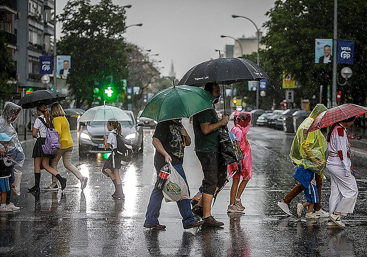
However, this will not be the norm for the entire following week. Spring, with its typical ups and downs, will meet Tuesday with a low-pressure system that, according to experts, could bring storms.
Prior to that, however, an anticyclone will land over Spain on Good Friday, with generally have clear skies and no rain across almost the entire country. This will continue through the weekend and until Monday, when a low-pressure system forming in central North America will move towards the Atlantic and possibly reach Spain.
Weather portal Meteored warns of a possible cyclogenesis over the weekend, "although there is uncertainty in the forecast".
According to Meteored, this storm could reach the country as a cold front, accompanied by maritime polar air and an upper-level trough. This would favour a significant drop in temperatures starting Monday, along with the arrival of rain and storms across large areas of mainland Spain and Portugal during the coming week.
"We could be facing the first significant storm event of this spring. A front will sweep across the country, from west to east, between Tuesday and Thursday," researcher and climatology expert Samuel Biener says.
"We'll have to confirm it, but we can expect locally heavy rain, most likely in Andalucía, Extremadura, Castilla-La Mancha, the region of Madrid and mountainous areas of the eastern half of the country. On Wednesday, these storms could intensify along the Mediterranean coast and in the Balearic Islands due to the possible formation of a secondary low-pressure system. We'll be confirming the magnitude of this weather event in the coming days, but just in case, don't put your umbrellas away," Biener says.
Following the deepening of the trough, some models suggest to Meteored that this wave could break away from the general circulation and lead to the formation of a cold drop ('dana') by the end of next week north of Morocco.
Currently, Aemet estimates a 30 to 90 per cent chance of showers on Tuesday in Andalucía, especially from 12pm onwards in interior areas of the provinces of Huelva, Seville, Cordoba, Granada and Malaga and less likely in Cadiz and Almeria. Temperatures will also be milder, with maximum values dropping by more than 5C, settling around 25-26C.