On Sunday, temperatures will reach 38-40C in the Ebro Valley and northeastern depressions, as well as in the Tagus, Guadiana and Guadalquivir valleys, where they could even approach 42C in some areas.
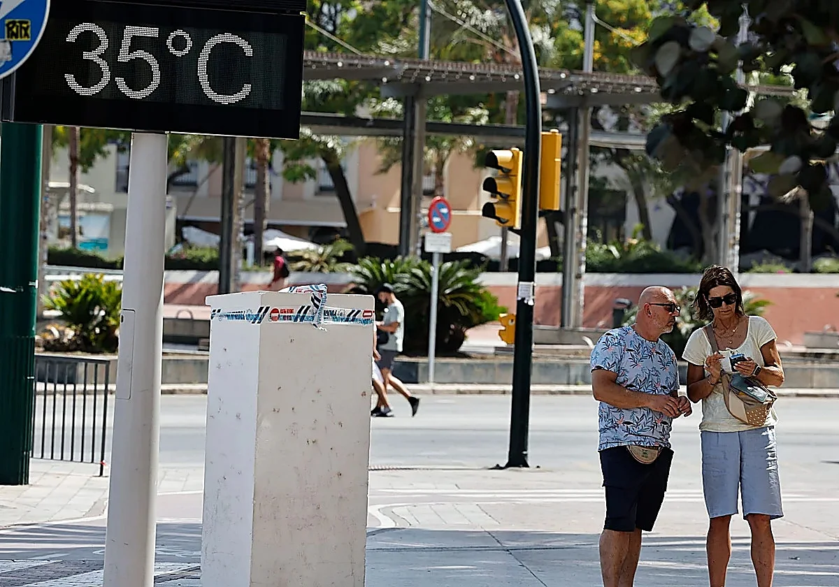
In Malaga province, as usual, the heat will vary by area. In Malaga city, Aemet expects 33-34C between Saturday and Monday. The nights will be the worst, with temperatures unlikely to drop below 24-25C (a phenomenon known as 'torrid' nights).
Although this phenomenon is not a given, what is certain is that the nights will be at least 'tropical', which means that nighttime minimum temperatures will not drop below 20C.
In municipalities in the interior of the province, like Antequera and Coín, daytime maximum temperatures will hover around 37C until the beginning of next week, with equally high minimums. The generally light wind will blow from the south.
Malaga weather expert José Luis Escudero says that this will be very similar to what happened at the end of May, when there were extraordinarily high maximum temperatures in Paris, London and several northern provincial capitals in Spain.
"We may be facing the first heatwave of the summer of 2026, which could last for several days and bring very high maximum temperatures, as well as tropical and even torrid nights. In many parts of the country, thermometers could reach 40-43C."
Escudero points out that, as is often the case in these situations, "the Malaga coast will once again be a true oasis, compared to other areas of Spain". Indeed, a general rise in temperature is expected in the interior of the province, "although they will not reach the levels in the Guadalquivir Valley and other areas of country, where the heatwave will be more pronounced".
Sea temperatures will also rise significantly along all coastlines.
On Monday, the weather will remain mostly unchanged, except in the Cantabrian region, where temperatures will drop sharply but still remain high. This is likely to be the peak of the heatwave, according to Aemet. Very high temperatures are also expected on the northern plateau, in La Mancha and the interior of southeastern Spain, as well as in the interior of Mallorca.
Fire hazard
Aemet warns of a "significant danger" level during the central hours of the day, especially for outdoor activities and vulnerable people (elderly, cardiovascular diseases, etc.).
In addition, the risk of forest fires will increase, especially in northern areas, accompanied by the possibility of dry thunderstorms with little rainfall. "The arrival of haze and mid- and high-level cloud cover, the possibility of afternoon thunderstorms and the position of the 'dana' are factors that will lead to a high degree of uncertainty regarding the intensity and duration of the phenomenon," Aemet says.
Although there is still considerable uncertainty, the most likely scenario according to Aemet is that temperatures will begin to drop slightly from Tuesday, 23 June. However, they will remain very high for much of the week. It is still impossible to determine precisely when the heatwave will end.
Today's weather forecast for Malaga province