Andalusian escapades
Río Molinos-Fuente del Chorro: the Istán trail that follows the path of water from the sierra to the heart of the villageThis easy, family-friendly route connects two of the most iconic water features in the area via the El Coto nature spot
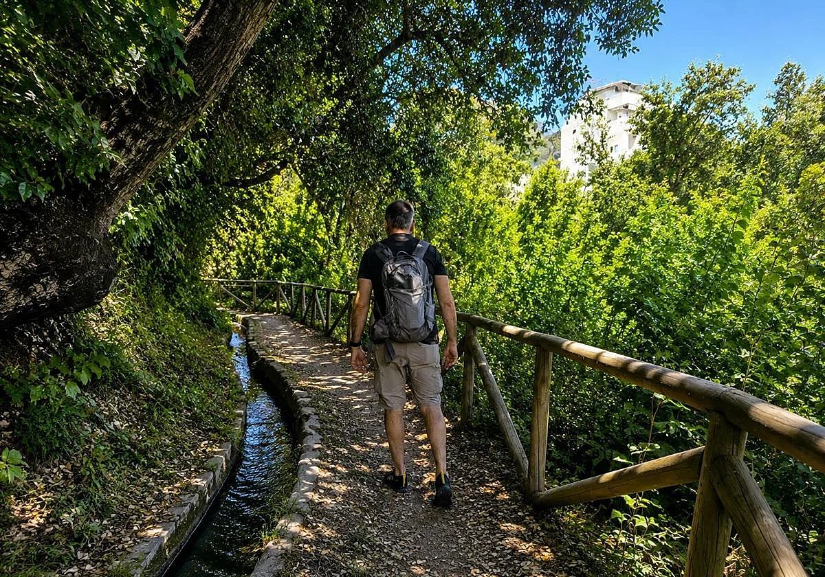
Añádenos en Google The irrigation channel and the vegetation of the Coto de Istán make this path a spectacular walk. (J. Amellones)Málaga
08/06/2026 a las 12:02h.Linear path that connects the source of the Río Molinos with the Fuente and Lavadero de El Chorro, crossing the El Coto area and following ... the course of an old irrigation channel for much of the route.
Route data
Comarca: Sierra de las Nieves
Municipality: Istán
Difficulty level: Low. The route is well prepared, with no steep gradients and is ideal for families with children. From the source of the Río Molinos, located at the highest point, the path is practically flat or slightly downhill.
Type of route: Linear
Approximate duration: 50 minutes (one way)
Length: 1.8 kilometres (one way).
Minimum height: 285 metres
Maximum altitude: 373 metres
Points of interest
Río Molinos source, the El Coto nature spot, traditional irrigation channels, the Fuente y Lavadero de El Chorro (fountain and old washhouse), the village centre of Istán, the Azufaifo viewpoint, the church of San Miguel, Torre Escalante, the Valle del río Verde and the La Concepción reservoir.
The El Coto nature spot has numerous labelled plant species. (J. Amellones)