Spain weather
Sharp weather turn in Spain: heavy storms, hail and a potential DANA on the wayA polar air mass will plunge northern temperatures under 20°C while the south approaches a scorching 40°C
Añádenos en Google (SUR)SUR
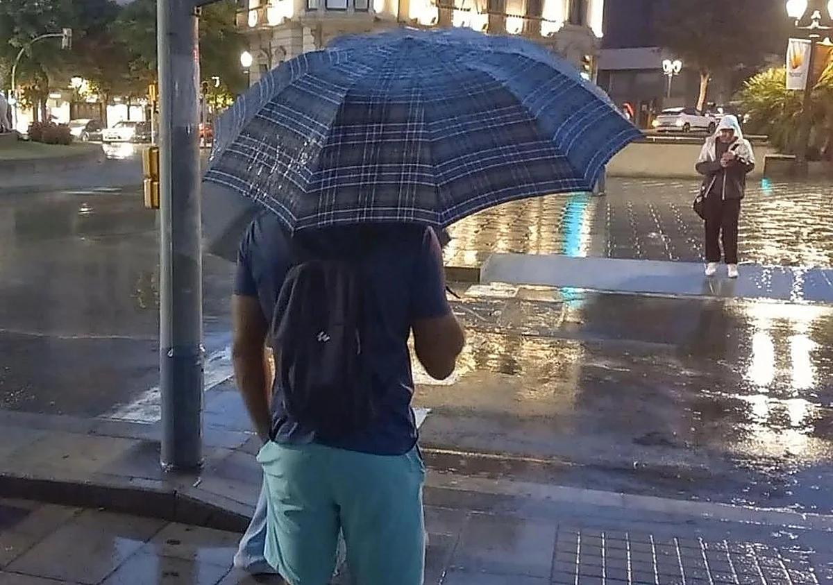
08/06/2026 a las 14:18h.A radical weather shift is looming over northern Spain, set to create a stark temperature contrast between the north and the south of the country. ... According to Meteored’s weekly forecast, over the coming days, "the passage of several atmospheric troughs will trigger locally heavy rain and storms across various provinces of mainland Spain. On top of this, a DANA could potentially form starting on Friday."
As a result, the weather platform predicts storms will hit the Pyrenees this afternoon, bringing "locally intense downpours and potential hail to northern Lleida and Girona, as well as the Barcelona Pre-Pyrenees." Isolated showers have also not been ruled out in parts of Teruel and southern Zaragoza.
Meanwhile, a weak weather front will bring light to moderate rain to the Cantabrian region, with heavier accumulations in mountainous areas. Furthermore, "instability will persist around the Pyrenees overnight, bringing downpours that could be heavy at times and may extend into the Huesca province," according to Meteored.
Stark temperature contrasts
Regarding temperatures, the weather portal emphasizes that a sharp thermal contrast between the northern and southern halves of the Iberian Peninsula will take center stage during the first half of the week. In fact, maximum temperatures are expected to sit below 20°C in some northern provincial capitals, while soaring above 35°C in the Guadalquivir Valley and the Guadiana river basins. "From Thursday onwards, the heat could intensify even further, with values nearing 40°C in the south," Meteored notes.
Heavy storms and downpours
Looking ahead to Tuesday, June 9, rain will persist across the Cantabrian region and the northern Iberian System, though it will tend to subside. However, Meteored warns that storms "will intensify once again in the Catalan and Aragonese Pyrenees, bringing the risk of hail and strong wind gusts, while isolated showers could develop in other mountainous areas of the eastern interior and the Central System."
On Wednesday, June 10, morning downpours will be patchily distributed across Catalonia, alongside more isolated showers in the Pyrenees and the Cantabrian region. "In the afternoon, scattered storms will reform in the mountainous areas of northern and eastern Spain, with the potential to become locally severe, particularly around the southern Iberian System."
Thursday and Friday will see predominantly stable weather, with only a few light, highly isolated showers in northern and inland areas. "Heading into the weekend, weather models point to a potential trough dropping to the west of the Peninsula, which could eventually form a DANA. While there is still uncertainty, this scenario could draw in warmer air and suspended dust (calima), as well as spark more widespread and intense storms across the interior and western parts of mainland Spain."