Zoom
Weather Storm Emilia gives way to change of weather in south of Spain: this how it will affect temperaturesThe more stable conditions will only last a few days and the state weather agency warns of a new front "that could leave precipitation, especially in the west" on Friday and early on Saturday
SUR
Malaga
Wednesday, 17 December 2025, 09:47
Storm Emilia is moving away from Spain towards the Mediterranean after leaving heavy rainfall in the Andalucía provinces of Huelva, Cadiz, Seville, Malaga and Granada on Monday and on Tuesday morning.
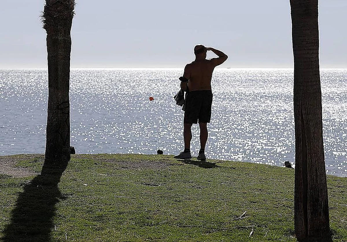
Speaking to Europa Press, the regional delegate of the state meteorological agency (Aemet) said that as storm Emilia departs, temperatures will generally rise 2-4C in Andalucía.
Del Pino predicts cloudy or clear skies, with no precipitation "except for some occasional rainfall in the easternmost areas" of the region for this Wednesday and Thursday. However, a new front is expected to arrive on Friday and last until the early hours of Saturday, possibly leaving "precipitation, especially in the western part of Andalucía".
For the last day of the week, "a frontal system associated with a storm" is expected to pass close to Andalucía and leave light rainfall throughout the region.
According to Del Pino, maximum temperatures "are going to rise following the passage of the storm" and rise. Maximum values are expected to remain around 18C in the Guadalquivir Valley until Friday. They will fall again on Saturday and Sunday, with a maximum temperature of around 15C throughout Andalucía.
In the final days of the week, this decrease in rainfall and slight variation in temperatures will be accompanied by gusts of wind from the west, "light to moderate inland, moderate on the Atlantic coast and moderate to strong on the Mediterranean coast".