Aemet has issued yellow warnings for "significantly high maximum temperatures" and also for storms with the possibility of strong gusts of wind
Añádenos en Google (SUR)Málaga
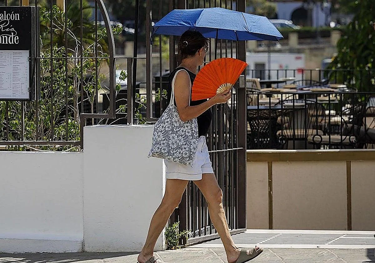
18/06/2026 a las 13:13h.Hot weather is on the way in Andalucía. The heat is intensifying and temperatures are set to rise to 40°C in the coming days ... in some parts of the region, according to the forecast by the state meteorological agency (Aemet), which has issued yellow warnings in several provinces due to high temperatures on Thursday, Friday and Saturday.
On Thursday 18, four provinces are under a heat and thunderstorm warning until 8pm or 9pm: Cordoba, Huelva, Jaén and Seville. The forecast, which highlights “significantly high maximum temperatures in the Guadalquivir valley”, indicates cloud cover developing during the day in the Sierra Morena, which may be accompanied by occasional showers and thunderstorms.
Thus, in the province of Cordoba, warnings are in place in the Sierra and Pedroches areas due to the risk of thunderstorms with possible very strong gusts of wind: a heat warning has been issued for temperatures of 39 °C in the countryside. In Aracena, in Huelva, a storm warning has been issued, whilst in Jaén, heat warnings have been issued for Morena, Condado and the Guadalquivir Valley. Finally, in Seville, the storm warning affects the Sierra Norte, whilst maximum temperatures of up to 38 degrees are expected in the Seville countryside.
Looking ahead to Friday 19 and Saturday 20 June, the same Andalusian provinces will once again be on alert for high temperatures and the possibility of thunderstorms (in Aracena, northern Seville and the Sierra and Pedroches regions). On both days, maximum temperatures may reach 40°C in some areas of the Cordoba countryside, Morena and Condado in Jaén, and the Guadalquivir Valley in Jaén.
Dry Saharan air mass in Spain
Nationwide, the forecast for this Thursday highlights showers and heavy thunderstorms in the inland areas of the western third of the peninsula, although it cannot be ruled out that these may affect parts of the Pyrenees. Maximum temperatures may exceed 34–37 degrees in the interior of the Basque Country, 35–36 degrees in Mallorca, 36–38 degrees in the north-eastern third of the peninsula, and 38–39 degrees in the Tagus, Guadiana and Guadalquivir valleys.
“The ridge currently developing over Europe will lead to a blocking pattern over the coming days, which will encourage a small cold air mass to break away to the west of the Iberian Peninsula from Sunday 21. These two factors will encourage the northward movement of the dry and very hot Saharan air mass, which, combined with the high levels of sunshine typical of this time of year, is likely to result in a spell of very high and persistent temperatures between Sunday and much of next week, particularly in the river valleys and low-lying areas of the interior of the peninsular,” according to the meteorological office’s forecast.